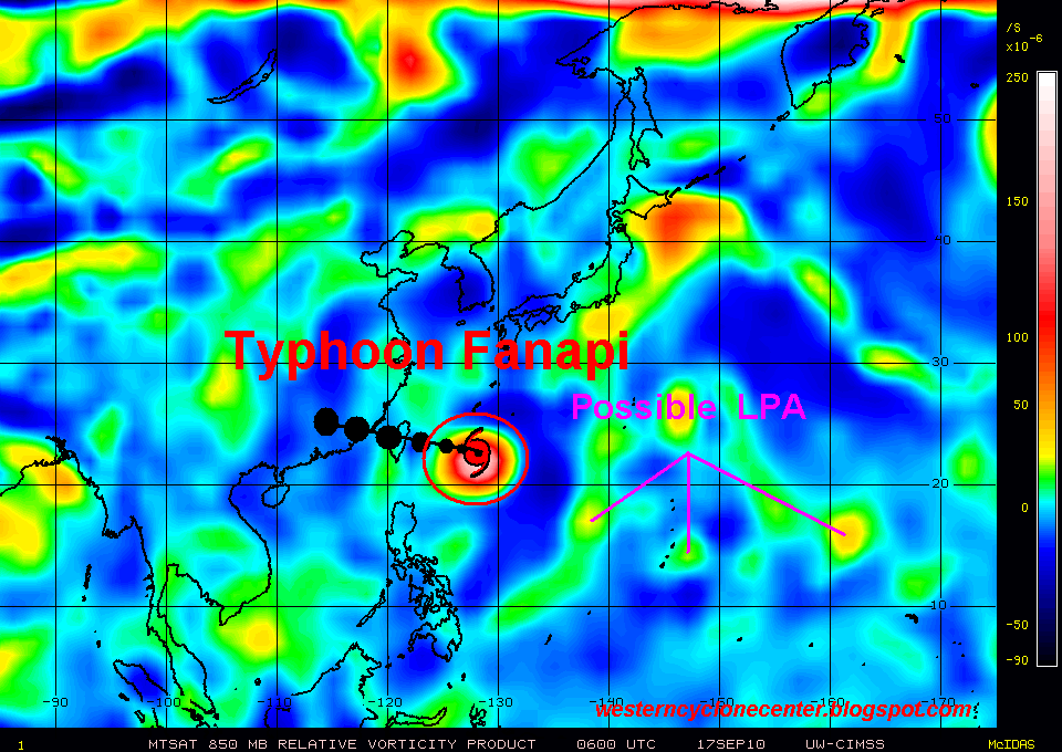
Typhoon Fanapi (Inday/12W)
- 22.7N 128.0E
- 703.76 km. East-Southeast of Taipei, Taiwan
- currently moving northwestward 6 kph
- maximum sustained winds: 139 kph
- gustiness winds: 167 kph
- Saffir-Simpson Typhoon Scale: Category 1
- minimum sea level pressure: 967 MB
- maximum sea wave height: 21 feet
Based on the latest weather satellite, Typhoon Fanapi is expected to move northwestward-west-northwestward within the next 24-48 hours. The recent satellite imagery depicts a developing irregular eye over the past 6 hours. Typhoon Fanapi is expected to accelerate windward heading and making it's first landfall over the Central Taiwan within the next 48 hours. It will continue tracking westward direction which could attain the strength of Category 2 while in the Taiwan Strait heading Southeastern Coast of China (Zhangzhou area) within the next 96 hours and shall dissipate over the border of Fujian-Guandong area.
Proper precautinary measures must be implemented along the affected and projected area.
Proper precautinary measures must be implemented along the affected and projected area.
No comments:
Post a Comment