Sunday, August 15, 2010

Tropical Disturbance 92w rapidly developing as Tropical Cyclone Formation Potential is at 35-55%...ITCZ afffecting the country


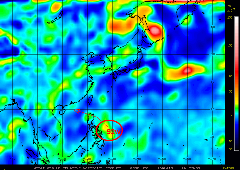
Tropical Disturbance 92W
  • 14.o N 128.0E
  • moving westward @ 21 kph
  • 1010 MB
  • about 410 km East of Bicol Region
The latest Hong Kong Computer Models, used in predicting active disturbance or cyclone forecasts this system, 92w. invest to affect the Northern Luzon. The 2-3 day long range forecast shows this disturbance to peak the minimum sea level pressure characteristic of weak Tropical Depression having 1004 MB. The said disturbance is expected to move in WNW-NW and change its course in westward direction heading Cagayan-Northern Isabela area tomorrow, August 17, 2010. It is expected to pass Northern Luzon and exit via Ilocos Norte heading South China Sea. More weather updates as this rapidly developing disturbance might affect the northermost part of the country.

Inter-Tropical Convergence Zone remains the dominant active weather disturbance affecting the archipelago that will bring isolated rains and thunderstorms.

No comments:

Post a Comment